Google Maps 3D has recently been enabled on the tellthem™ platform, enabling you to better visualise the area you're mapping.
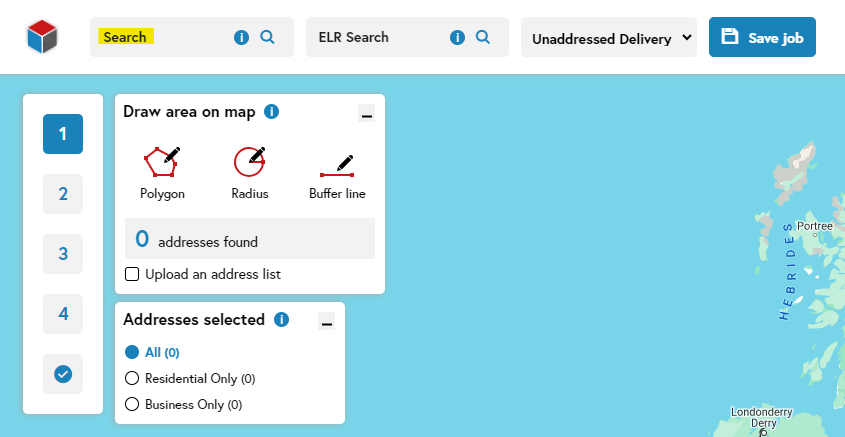
Step 1
Find your delivery area by inputting any of the following into the search bar:
- Postcodes
- Cities
- Towns
- Boroughs
- Villages
- Local landmarks (restaurants, pubs, railway stations, etc.)
- what3words codes
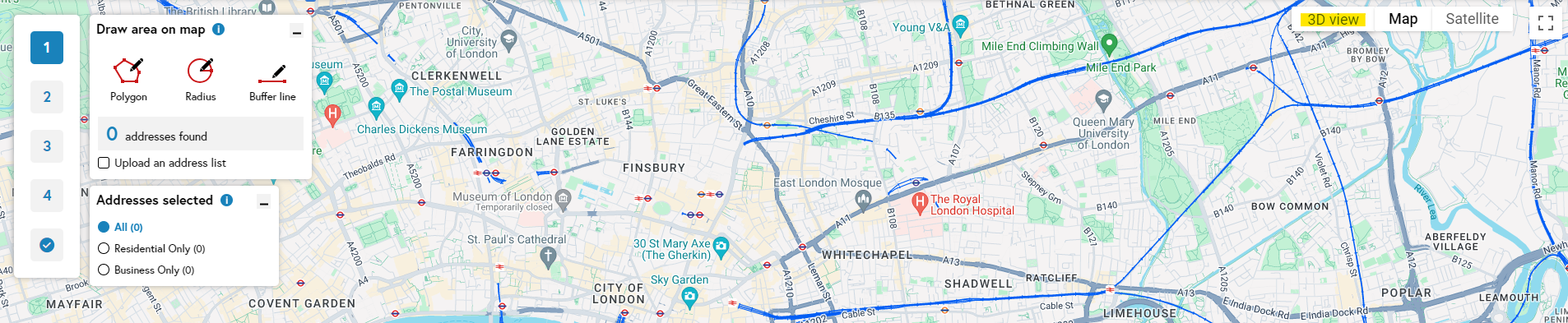
Step 2
Click on ‘3D view’ in the top right-hand corner.
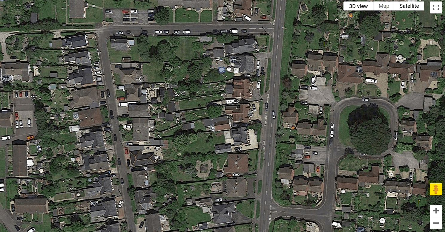
Step 3
You can zoom in just as you would on Google Maps, and use the icon in the lower right-hand side to switch to Street View.
Related support guides
Search tools
The search bar in tellthem™ accepts any term that you can use in Google Maps, including what3words.
Search tools
Engineer’s Line References (ELR) can be used to map areas along railway lines.